
- …
- Yak
- Quests
- Canadian Rockies 11,000ers
- Mount Edith Cavell
11,033 ft · South Jasper Ranges, Alberta
Mount Edith Cavell
Mount Edith Cavell is an 11,033 ft peak in the South Jasper Ranges, Alberta. The standard route is the West Ridge: 15 mi, 6,234 ft of gain, Class 3.

Mount Edith Cavell at a glance
- Elevation11,033 ft3,362 m
- RouteWest RidgeClass 3
- Distance15 mi6,234 ft gain
- Time14 – 16 hrsVery Hard effort
- SeasonJul – Sep
- RangeSouth Jasper RangesAlberta
Climbing the West Ridge
From Jasper, take Highway 93 and Highway 93A to Cavell Road and park at the Astoria River trailhead near Cavell Lake. Cavell Road is closed for the 2026 season for wildfire repairs, so check Parks Canada first. Cross the lake outlet, hike the Astoria River trail about 4 km to the unsigned Verdant Pass spur, then grind up a huge scree and boulder bowl to the West Ridge (Class 3). The ridge has loose steps and can hold snow or ice near the top. Expect a 13 to 14 hour day and start early to beat storms. Many parties climb the East Ridge (5.3) and descend this way. A Parks Canada pass is required.
Gear and hazards
What to bring
 Backpack (35–55 L)
 Hiking Boots
 Water
 Offline Maps
 Headlamp
 Satellite Communicator
 Whistle
 Sunglasses
 Sunscreen
 Sun Hat
 Midlayer
 Insulated Jacket
 Hardshell Jacket
 Warm Hat
 Buff
 Midweight Gloves
 Trekking Poles
 GPS Device
 Power Bank
 Water Filter
 First-Aid Kit
 Emergency Bivy
 Helmet
What to watch for
- Loose rock
- Rockfall
- Route-finding difficulty
- Snow near summit
- Storms
Quests with Mount Edith Cavell
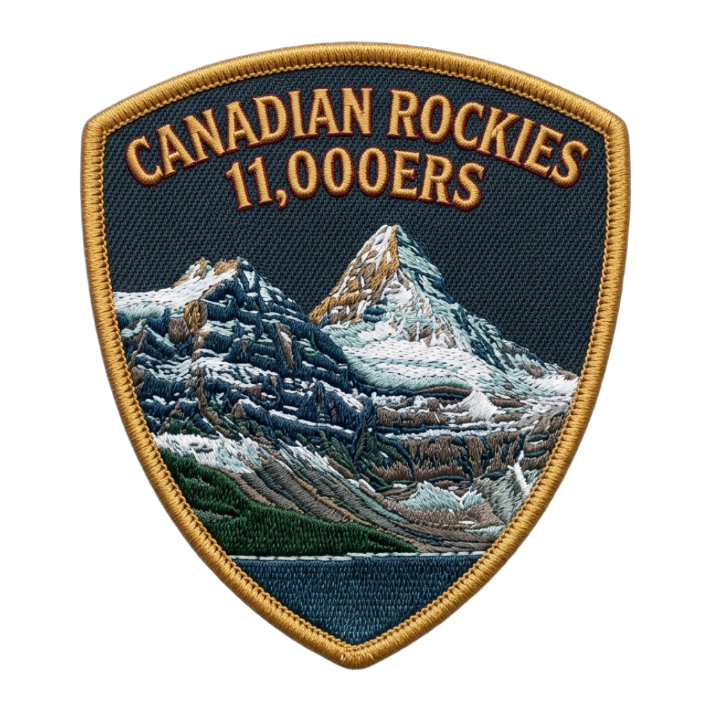 Canadian Rockies 11,000ers
Peaks near Mount Edith Cavell

Frequently asked questions
How tall is Mount Edith Cavell?
Mount Edith Cavell is 11,033 feet (3,362 m) tall. It is in the South Jasper Ranges, Alberta.
How does Mount Edith Cavell rank among the Canadian Rockies 11,000ers?
At 11,033 feet, Mount Edith Cavell is the 47th highest of the 54 Canadian Rockies 11,000ers. The highest is Mount Robson.
How hard is it to climb Mount Edith Cavell?
The West Ridge is Class 3, which means scrambling, where you use your hands to climb and a fall could be serious. Yak rates the overall effort very hard: 15 miles with 6,234 feet of elevation gain.
How long does it take to climb Mount Edith Cavell?
Most people take 14 – 16 hours round trip on the West Ridge, covering 15 miles with 6,234 feet of elevation gain. That is a long day, so start before dawn and set a turnaround time.
Is Mount Edith Cavell dangerous to climb?
It has real risks: rockfall from loose rock, fast-changing weather and tricky route-finding. Go with an experienced partner, wear a helmet, test holds before you trust them and turn back if the rock is wet or icy.
Do you need a helmet for Mount Edith Cavell?
It is a good idea. Loose rock and rockfall are common on the West Ridge, so a helmet is on the gear list.
What time should you start climbing Mount Edith Cavell?
Early. Afternoon thunderstorms are common in summer, so aim to be off the summit and the exposed upper mountain by early afternoon. At 14 – 16 hours round trip, many parties start in the dark.
When is the best time to climb Mount Edith Cavell?
The usual climbing window is July to September. Outside it, expect snow, storms or closed access, and check the summit forecast before you go.
Climb Mount Edith Cavell with Yak
Plan your route on a topo map, check the summit forecast, then log your climb and see what is left on your list