
- …
- Yak
- Quests
- South Beyond 6,000
- Shining Rock
5,986 ft · Great Balsam Mountains, North Carolina
Shining Rock
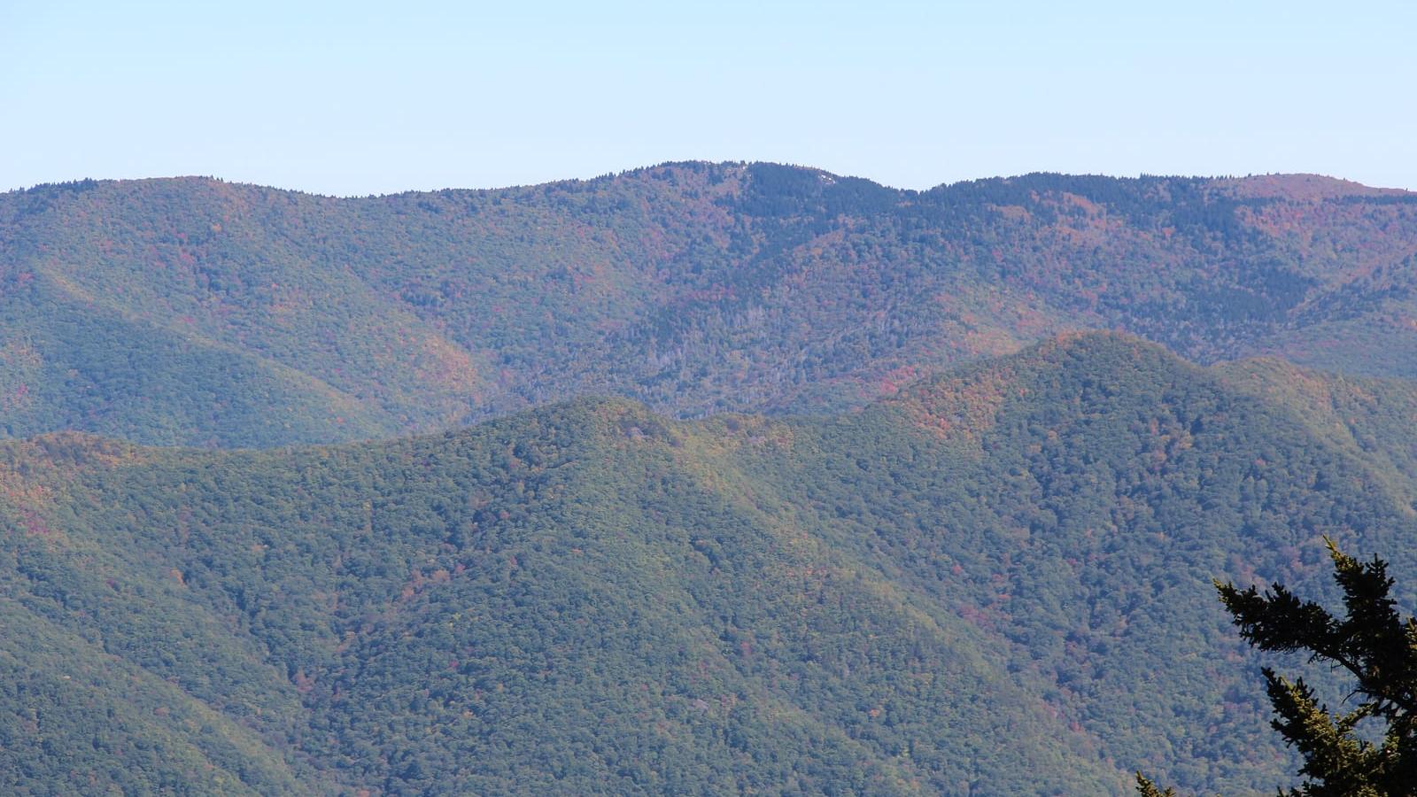
Shining Rock is a 5,986 ft peak in the Great Balsam Mountains, North Carolina. The standard route is the Ivestor Gap Trail: 9 mi, 600 ft of gain, Class 2.
Shining Rock at a glance
- Elevation5,986 ft1,824 m
- RouteIvestor Gap TrailClass 2
- Distance9 mi600 ft gain
- Time5 – 7 hrsModerate effort
- SeasonApr – Nov
- RangeGreat Balsam MountainsNorth Carolina
Climbing the Ivestor Gap Trail
From Asheville, drive the Blue Ridge Parkway south to milepost 420.2 and follow Black Balsam Road (FR 816) to the parking area at its end. The Ivestor Gap Trail follows a rocky, often wet railroad grade about 4.3 miles to Shining Rock Gap, where several unsigned wilderness trails meet. Take the well-worn Class 2 path from the northeast side of the gap to the white quartz outcrop; scramble both high rocks, one on the north edge and one near the center. Bring a map, since the Shining Rock Wilderness has no signs or blazes. Groups are capped at ten, fires are banned, and overnight campers must carry a bear-resistant canister.
Gear and hazards
What to bring
 Backpack (30–40 L)
 Hiking Boots
 Water
 Offline Maps
 Headlamp
 Satellite Communicator
 Whistle
 Sunglasses
 Sunscreen
 Sun Hat
 Midlayer
 Insulated Jacket
 Hardshell Jacket
 Warm Hat
 Buff
 Midweight Gloves
 Trekking Poles
 GPS Device
 Power Bank
 Water Filter
 First-Aid Kit
 Emergency Bivy
What to watch for
- Route-finding difficulty
- Slippery terrain
- Boggy terrain
- Rapid weather shifts
Quests with Shining Rock
 South Beyond 6,000
Peaks near Shining Rock



Frequently asked questions
How tall is Shining Rock?
Shining Rock is 5,986 feet (1,824 m) tall. It is in the Great Balsam Mountains, North Carolina.
How does Shining Rock rank among the South Beyond 6,000?
At 5,986 feet, Shining Rock is the 40th highest of the 40 peaks of the South Beyond 6,000. The highest is Mount Mitchell.
How hard is it to hike Shining Rock?
The Ivestor Gap Trail is Class 2, which means off-trail hiking with some use of your hands for balance. Yak rates the overall effort moderate: 9 miles with 600 feet of elevation gain.
How long does it take to hike Shining Rock?
Most people take 5 – 7 hours round trip on the Ivestor Gap Trail, covering 9 miles with 600 feet of elevation gain, so most people do it in a day.
Can a beginner hike Shining Rock?
Usually, if you are fit. The Ivestor Gap Trail is a common first summit for hikers ready for 5 – 7 hours on their feet. Bring layers, food and water, and check the weather before you start.
When is the best time to hike Shining Rock?
The usual hiking window is April to November. Outside it, expect snow, storms or closed access, and check the summit forecast before you go.
Climb Shining Rock with Yak
Plan your route on a topo map, check the summit forecast, then log your climb and see what is left on your list