
- …
- Yak
- Quests
- Catskill 3500
- Slide Mountain
4,185 ft · Burroughs Range, New York
Slide Mountain
Slide Mountain is a 4,185 ft peak in the Burroughs Range, New York. The standard route is the Phoenicia East Branch and Burroughs Range Trails: 5 mi, 1,780 ft of gain, Class 1.

Slide Mountain at a glance
- Elevation4,185 ft1,275 m
- RoutePhoenicia East Branch and Burroughs Range TrailsClass 1
- Distance5 mi1,780 ft gain
- Time4 – 6 hrsEasy effort
- SeasonYear‑round
- RangeBurroughs RangeNew York
Climbing the Phoenicia East Branch and Burroughs Range Trails
From Big Indian on NY 28, drive Ulster County Route 47 (Oliverea Road) south about 9 miles to the Slide Mountain parking area. The DEC route follows the yellow Phoenicia East Branch Trail 0.7 mi, then turns east on the red Burroughs Range Trail for 2.0 mi to the summit rock and the Burroughs plaque. It is Class 1, steady and rocky, with ledge views and a wooded top. This is the highest Catskill and one of the four winter-required club peaks, so carry traction and warm layers from December to March. Sign the trail register.
Gear and hazards
What to bring
 Backpack (25–35 L)
 Hiking Boots
 Water
 Offline Maps
 Headlamp
 Satellite Communicator
 Whistle
 Sunglasses
 Sunscreen
 Sun Hat
 Midlayer
 Insulated Jacket
 Hardshell Jacket
 Warm Hat
 Buff
 Midweight Gloves
 Trekking Poles
 GPS Device
 Power Bank
 Water Filter
 First-Aid Kit
 Emergency Bivy
What to watch for
- Cold summit conditions
- Ice near summit
- Slippery terrain
- Low visibility
Quests with Slide Mountain
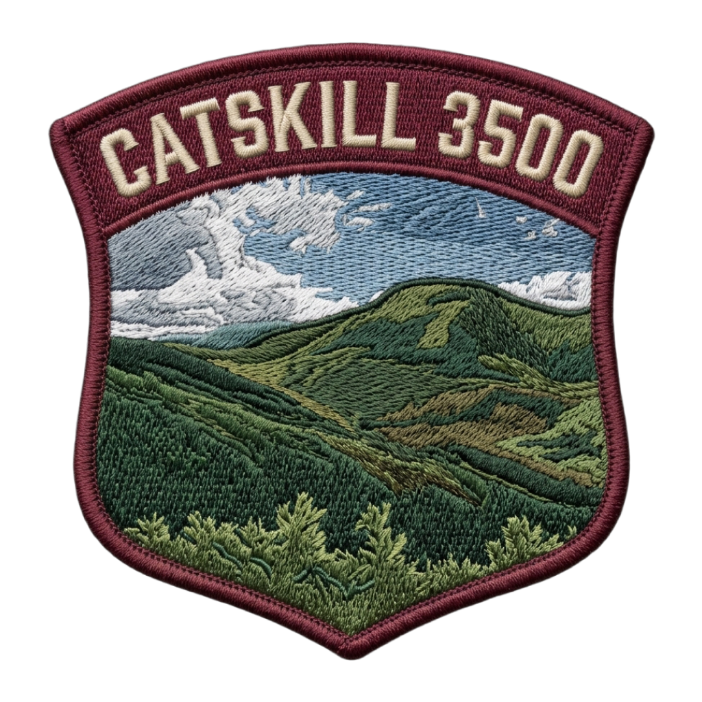 Catskill 3500
Peaks near Slide Mountain


Frequently asked questions
How tall is Slide Mountain?
Slide Mountain is 4,185 feet (1,275 m) tall. It is in the Burroughs Range, New York.
Is Slide Mountain the highest of the Catskill 3500?
Yes. At 4,185 feet, Slide Mountain is the tallest of the 33 peaks of the Catskill 3500.
How hard is it to hike Slide Mountain?
The Phoenicia East Branch and Burroughs Range Trails is Class 1, which means hiking on a trail. Yak rates the overall effort easy: 5 miles with 1,780 feet of elevation gain.
How long does it take to hike Slide Mountain?
Most people take 4 – 6 hours round trip on the Phoenicia East Branch and Burroughs Range Trails, covering 5 miles with 1,780 feet of elevation gain, so most people do it in a day.
Can a beginner hike Slide Mountain?
Usually, if you are fit. The Phoenicia East Branch and Burroughs Range Trails is a common first summit for hikers ready for 4 – 6 hours on their feet. Bring layers, food and water, and check the weather before you start.
When is the best time to hike Slide Mountain?
Slide Mountain is open for hiking year-round. Conditions change with the seasons, so check the summit forecast before you go.
Climb Slide Mountain with Yak
Plan your route on a topo map, check the summit forecast, then log your climb and see what is left on your list