The Mount Whitney permit lottery: how it works and when to apply
Every permit to hike Mount Whitney between May and November starts with one application in February. Here's the schedule, the rules that trip people up, and what the hike itself asks of you
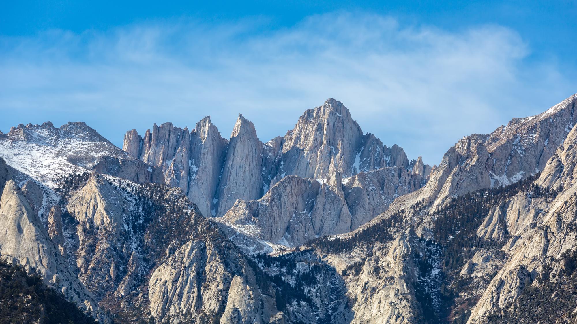
You apply for the Mount Whitney lottery on Recreation.gov between February 1 and March 1. Results post on March 15, winners have until 9 p.m. Pacific on April 21 to claim and pay, and every unclaimed date opens to everyone at 7 a.m. Pacific on April 22. Those permits cover the quota season, May 1 to November 1, when the Inyo National Forest lets 100 day hikers and 60 overnight hikers start each day.
That's the schedule the Inyo National Forest Mount Whitney page listed for the 2026 season. The next lottery is for the 2027 season. The Forest Service hadn't posted 2027 dates when we wrote this, so expect the same pattern and confirm it on that page in January.
- ApplyFeb 1 – Mar 1
- ResultsMar 15
- Pay byApr 21, 9 p.m. Pacific
- LeftoversApr 22, 7 a.m. Pacific
- Quota seasonMay 1 – Nov 1
- Daily quota100 day, 60 overnight
- Fees (2026)$6 plus $15 a person
How much does a Mount Whitney permit cost?
Recreation.gov charges a $6 non-refundable reservation fee per permit and $15 for each person entering the Whitney Zone. Kids, seniors and military pay the same, and everyone counts toward the quota.
There are no refunds, rain checks or credits. If two people drop out of a group of six, you can reduce the group size online, but the fee stays paid. These were the 2026 fees; check the Recreation.gov permit page for the current ones.
How does the Whitney lottery application work?
Submit one application per group. The Forest Service says groups or households that send in more than one can be disqualified.
You can list up to 10 alternate choices on that one application, so it pays to be flexible about dates. If you win, the permit is good only for the entry date and permit type you won. Groups can't be larger than 15, and that count includes children.
Only the leader or the alternate leader named on the application can pick up and use the permit. Names can't be changed or added later, and permits can't be resold or transferred. If the leader can't make it, the named alternate is the only person who can take their place.
After the lottery you can shrink the group or change an overnight trip's camps and exit, but adding people or switching permit type means withdrawing and reapplying.
Day use or overnight: which permit do you need?
Pick the one that matches your trip, because they aren't interchangeable. A day use permit is good for one calendar day, midnight to midnight, on any route in the Whitney Zone. An overnight permit for the Mount Whitney Trail lets you camp along the trail and can be extended onto the John Muir Trail or Pacific Crest Trail.
A few rules catch people:
- No back-to-back day permits. Consecutive day use permits aren't allowed. If your hike crosses midnight, you need an overnight permit.
- An overnight permit can't be used for a one-day hike.
- Print it on time or lose it. You can print your permit a week before. A day use permit is cancelled as a no-show unless it's printed by noon the day before your entry date; an overnight permit, by 10 a.m. on the entry date.
What if you miss the lottery?
Book leftover dates on Recreation.gov from April 22 at 7 a.m. Pacific. The Forest Service says reservations stay open first come, first served for the rest of the season, so it's worth checking more than once.
From November 2 to April 30 there's no quota, but you still need a permit, bookable online up to two weeks ahead. That's winter on Whitney: deep snow, winds that can top 100 mph, and Whitney Portal Road usually closed about 3 miles below the trailhead from mid-November to late April.
What is the Whitney Zone?
It's the area around the summit where you need a permit to be there at all, day hike or not. On the Mount Whitney Trail, the boundary sits about a tenth of a mile west of Lone Pine Lake, so you can day hike to the lake without a permit but not past it. A Forest Service order running through June 18, 2027 makes entering the zone without a permit punishable by a fine of up to $5,000.
The Forest Service counts more than 20,000 people on the mountain each year, on ground that's largely bedrock, with too little soil to break waste down. Hikers pack out close to 7,000 pounds a year.
Can you hike Mount Whitney in a day?
Yes, if you're very fit and acclimatized. The Mount Whitney Trail is about 22 miles round trip from Whitney Portal at 8,300 feet, gaining more than 6,200 feet to the 14,505-foot summit. The Forest Service tells day hikers to expect 12 to 14 hours on the trail, to start before sunrise and to be ready to hike in the dark.
The trail is Class 1, non-technical the whole way when it's free of snow. Distance and altitude together are what make it hard, so many people take an overnight permit and spend one or two nights at Lone Pine Lake (about 10,000 feet), Outpost Camp (10,500), Consultation Lake (11,000) or Trail Camp (12,000). You can see the full route on the Mount Whitney page.
When is the best time to hike Mount Whitney?
July through late September, when the trail is usually free of snow. The Forest Service warns to expect ice and snow until early July, and outside that window you need winter mountaineering skills and gear.
Expect snow above Lone Pine Lake through Memorial Day and on the switchbacks above Trail Camp through June. By late September and October, cold and short days make a day hike harder to finish. Snow years vary, so check current conditions before you commit.
How dangerous is Mount Whitney?
On a clear summer day the trail is straightforward, but altitude, lightning, snow and ice, and cold wind above Trail Camp are real hazards. Most come down to timing and turning around.
Altitude sickness can start above about 8,000 feet, roughly where the trail begins. The National Park Service lists shortness of breath, nausea, headache and fatigue as signs, and says the best treatment is to go down. A night or two at elevation beforehand helps.
From July to early September, thunderstorms are the bigger worry. The Forest Service says to leave the summit by noon when storms are forecast, and to get off the summit and exposed ridges at the first sign of lightning. Storms sometimes build early. Check the National Weather Service forecast for the summit before you start, leave your plans with someone at home, and don't count on cell service.
Your group's safety comes first, the summit is optional
Inyo National Forest, Hiking the Mt. Whitney Trail
What is the Mountaineer's Route on Mount Whitney?
It's the steep gully on Whitney's east side, a steeper, rougher line than the trail, and it still needs a permit. From Iceberg Lake at the head of the North Fork of Lone Pine Creek, the route climbs a loose gully (often holding snow into summer) to a notch on the north side of the summit, then finishes with an exposed Class 3 scramble.
Your day use permit covers it, since day use is valid on all routes in the Whitney Zone. An overnight trip is different: the Mount Whitney Trail overnight permit doesn't include the North Fork of Lone Pine Creek. For that you need a North Fork overnight permit, which isn't in the lottery and can be reserved up to six months ahead. The same permit covers routes on Mount Russell, Whitney's 14,094-foot neighbor less than a mile north.
Can you hike Mount Whitney from Sequoia National Park?
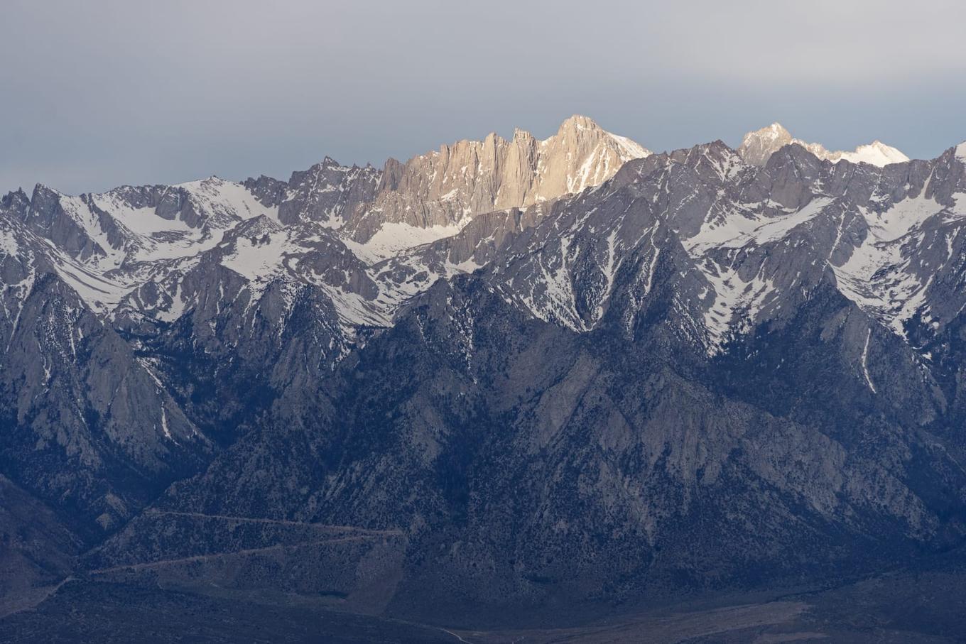
Yes, but it's a different permit and a much longer trip. If you start in Sequoia National Park and cross the range, you get a wilderness permit from Sequoia & Kings Canyon National Parks, not from the Whitney lottery. The High Sierra Trail from Giant Forest is about 60 miles one way, and the Park Service says it takes at least six days.
Longer trips from other Inyo trailheads, like Kearsarge Pass or Cottonwood Pass, aren't in the lottery either and can be reserved six months ahead. Finishing one of those at Whitney Portal uses the Trail Crest exit quota of 25 people per entry date; trips that start in another park or forest are exempt.
Horseshoe Meadow Road, the way to Cottonwood Pass, also reaches the Cottonwood Lakes trailhead, the usual start for Mount Langley.
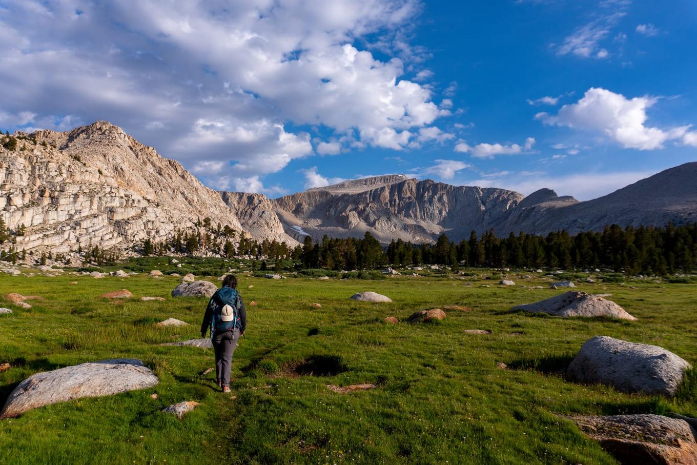
Keeping track of the rest
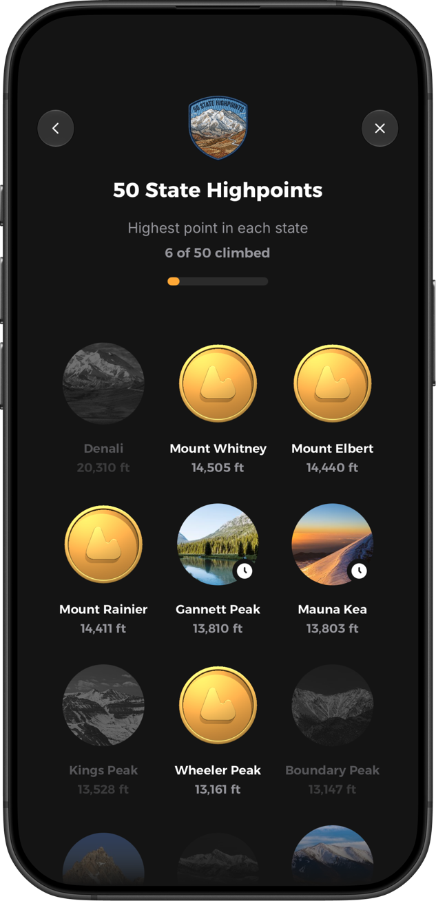
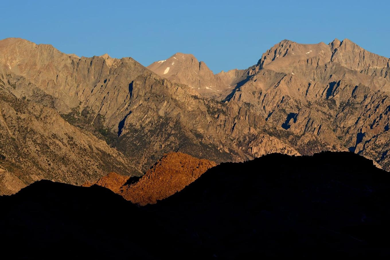
Whitney is the top of a few long lists. It's one of the 12 California 14ers, the highest of the Lower 48 14ers, and California's entry on the 50 State Highpoints. About five and a half miles north stands Mount Williamson, California's second-highest peak at 14,379 feet, and a much harder trip.
Yak is a free app for iPhone and Android that we built to keep lists like these in one place. You can track a quest, plan a route on a topo map with an elevation profile, check a 5-day summit forecast and read trip reports from other climbers. When you're back from Whitney, log the climb with the date, notes, photos and conditions.