Hiking Mount Washington in a day: trails, time and weather
Most fit hikers climb New England's highest peak and get back to the car before dark. The trails are the easy part to plan; the summit weather is what decides your day
Yes, you can hike Mount Washington in a day, and that's how most people do it. The common routes run 8.4 to 10 miles round trip with about 4,000 to 4,250 feet of climbing. The AMC's book-time formula puts them at roughly 6 to 7 hours of hiking before breaks, so plan on a full day.
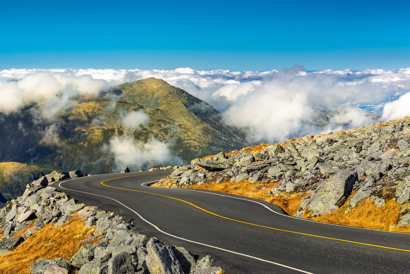
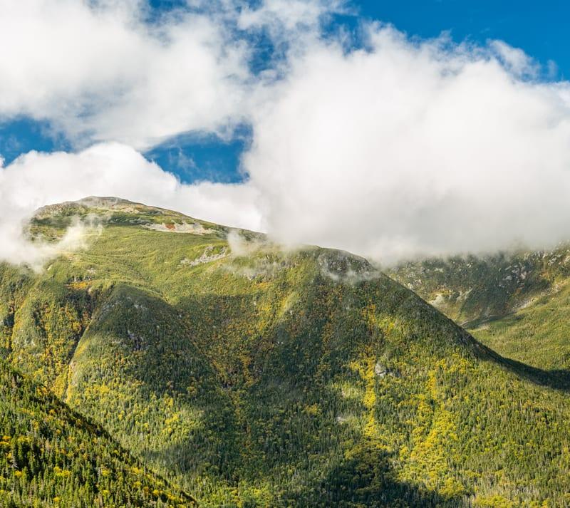
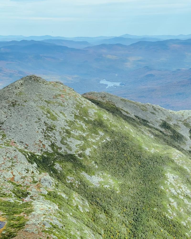
What makes Mount Washington hard isn't the mileage. At 6,288 feet it's the highest peak in the Northeast, and the last mile or two of every route is above treeline, exposed to wind, fog and cold that can show up in July. Much of the planning comes down to picking the right day.
What is the best trail up Mount Washington?
For a first summit, the Tuckerman Ravine Trail from Pinkham Notch is the most popular choice and the most straightforward. From the west side, hiking up the Ammonoosuc Ravine Trail and down the Jewell Trail is the classic loop.
The Mount Washington Observatory describes four routes as the most commonly hiked. The figures below are theirs, from before the 2025 reroute on the Ammonoosuc Ravine Trail.
- Summit6,288 ft
- Tuckerman8.4 mi, 4,250 ft gain
- Lion Head8.6 mi, 4,250 ft gain
- Ammonoosuc9.6 mi loop, 4,000 ft gain
- Jewell10 mi, 4,000 ft gain
Tuckerman Ravine (east). The trail climbs steadily for 2.4 miles to the Hermit Lake shelters, gaining about 1,800 feet, according to the Forest Service. Then it gets steep, climbing up through the headwall of the ravine on narrow rock shelves with real drop-offs, before a loose, rocky final push of about 1,000 vertical feet up the summit cone. The Observatory calls it the least technical footing of the four, with no big scrambles and bridges at the stream crossings.
Lion Head (east). It splits off the Tuckerman Ravine Trail about 2.3 miles up and follows the north rim of the ravine, with more scrambling and better views. A popular loop goes up Lion Head and down Tuckerman.
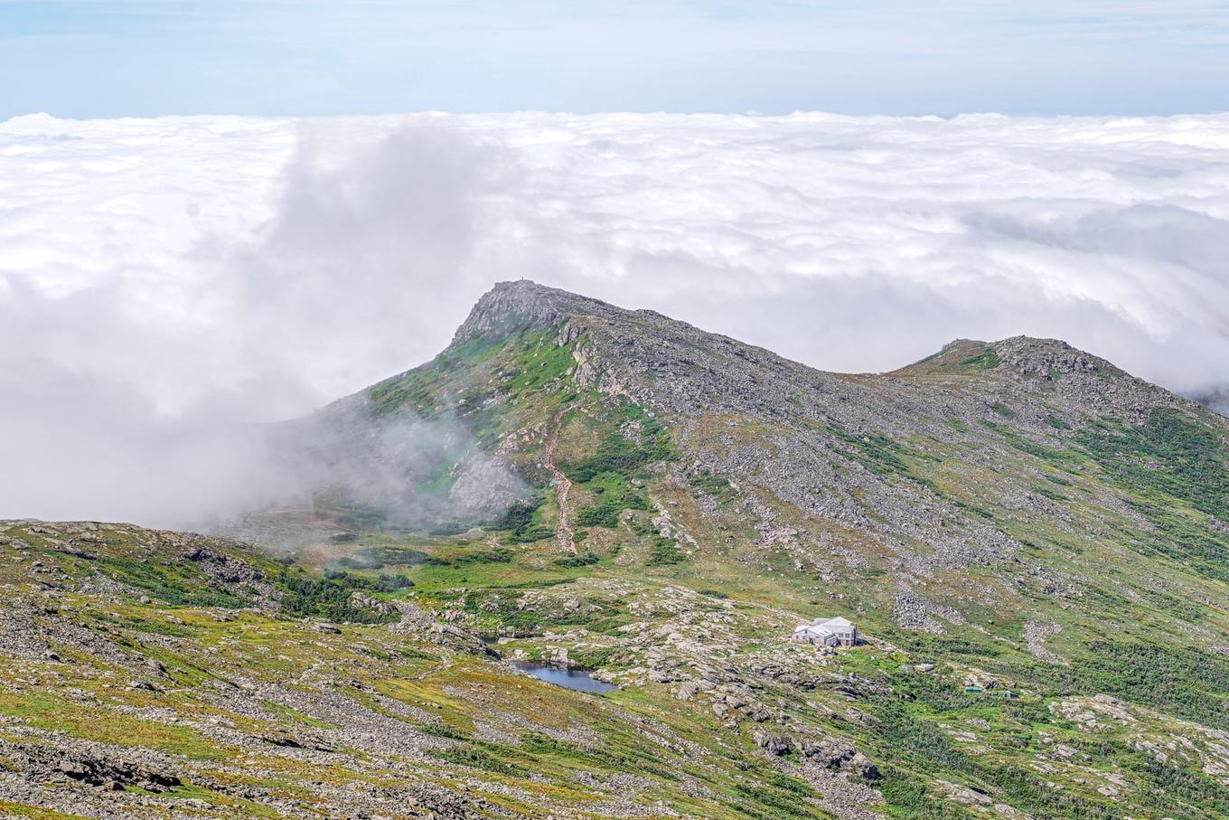
Ammonoosuc Ravine and Crawford Path (west). The Ammonoosuc Ravine Trail climbs about 3 miles and 2,600 feet to the AMC's Lakes of the Clouds Hut, at 5,012 feet, and the AMC rates it strenuous. It's steep, with two significant stream crossings and a stretch alongside a waterfall. From the hut, the Crawford Path follows big cairns to the summit, and it's easy to add Mount Monroe on the way. About 1.5 miles of the lower trail were rerouted away from the river in fall 2025, so older maps and apps may show the old line.
Jewell Trail (west). The gentlest way up from the west, and a common descent after the Ammonoosuc, with forest and bridged streams below treeline.
Longtime White Mountain hikers often name the Boott Spur Trail, along the south rim of Tuckerman Ravine, as a favorite. It's longer and has a ladder.
How long does it take to hike Mount Washington?
Book time says 6 to 7 hours for the common routes. Most people should plan on a longer day once they add breaks, a summit stop and slow going on rock.
The AMC's "book time" formula is 30 minutes per mile plus 30 minutes per 1,000 feet of climbing. That works out to about 6.3 hours for Tuckerman Ravine and 6.8 hours for the Ammonoosuc and Jewell loop. Above treeline the trails are loose rock, and coming down is rarely fast. The Cog Railway's hiker guidance suggests carrying food and water for a 10 to 12 hour round trip.
Is Mount Washington dangerous?
It can be, mostly because of the weather. The trails themselves are steep and rocky but nontechnical in summer. The danger is being above treeline when conditions turn.
On April 12, 1934, Observatory staff measured a 231 mph gust on the summit. It's still the fastest wind ever recorded by a staffed weather station. The everyday numbers matter more for hikers. The Observatory reports that the summit sits in fog about 60% of the time, and even July averages just 49.9°F with winds of about 25 mph. The record high is only 72°F.
Those conditions explain the Forest Service signs at treeline, which warn that the area ahead has the worst weather in America and that people have died there from exposure, even in summer. An Observatory post counts 30 hypothermia deaths on the summit alone, many of them in summer months.
Bring a warm layer, a windproof shell, a hat and gloves even on a hot day, plus a paper map. Above treeline, stay on the trail and step on rock to spare the fragile alpine plants.
When is the best time to hike Mount Washington?
July through September is the most forgiving window. Days are long, the summit building is open, the AMC huts serve meals into mid-September, and the trails are usually free of snow and ice.
Each spring, the Forest Service closes the section of the Tuckerman Ravine Trail from Lunch Rocks to the Alpine Garden Trail because of icy waterfalls, falling ice and steep snow, so check its status before an early season trip. By mid-October the summit services have usually closed for the year. In 2026 the Sherman Adams summit building closed on October 16.
Can you take the Auto Road or Cog Railway down?
Sometimes, but plan to walk down. Both are run by separate businesses, both close in bad weather, and neither will sell you a guaranteed seat down in advance.
The Mt. Washington Auto Road runs a hiker shuttle down the east side. In 2026 it cost $60 per person, first come, first served, with no reservations, a last regular trip at 4:00 pm and a final day of October 18. It drops off at Pinkham Notch and other east side spots, never at the Cog.
The Cog Railway sells one-way down tickets only in person at the summit, and only when seats are left after round-trip passengers. It runs to the west side, about 50 miles by road from Pinkham Notch, so it only helps if you started on the Ammonoosuc or Jewell. Check the Auto Road and the Cog for the current season.
In season, the state park's Sherman Adams summit building has a cafeteria, restrooms and the Observatory's museum. Along with the AMC huts, it's one of the few places to refill water above treeline.
Where do you park, and does it cost anything?
On the east side, park at the AMC Pinkham Notch Visitor Center on Route 16. On the west side, park at the Forest Service's Ammonoosuc Ravine Trailhead on Base Station Road, which charges a recreation fee.
The Observatory lists the Pinkham Notch lot as free, with bathrooms. The Ammonoosuc Ravine Trailhead charges $5 per vehicle per day, $30 for an annual pass or $40 for an annual household pass, and America the Beautiful interagency passes count. Those are the 2026 rates, and the fee applies year-round there. Check the White Mountain National Forest passes page before you go.
Can you hike Mount Washington in the winter?
People do, but it's a mountaineering trip. Plan on crampons, an ice axe, full winter clothing and, on some routes, avalanche gear.
January on the summit averages 5.8°F with winds averaging about 45 mph, according to the Observatory. The summit building is closed (in 2026 it closed October 16 and is expected to reopen in May 2027), the Lakes of the Clouds Hut keeps only an emergency refuge room open, and there's no ride down. The Forest Service says not to attempt the Tuckerman Ravine Trail in winter without an ice axe, crampons and avalanche equipment. The usual winter route from Pinkham is the Lion Head Winter Route, opened once there's enough snow. Read the Mount Washington Avalanche Center forecast along with the Higher Summits Forecast.
Is Mount Washington on the Appalachian Trail?
Yes. The Crawford Path from the Lakes of the Clouds Hut to the summit is part of the Appalachian Trail, so on the western routes you may share the trail with thru-hikers heading north.
Does Mount Washington count for the NH 48 if you drive up?
No. The AMC Four Thousand Footer Club requires you to be on foot from the trailhead to the summit and back. No part of the ascent or descent can be by car on an auto road or by cog railway, so riding down doesn't count either.
Washington is the tallest of the NH 48, the 48 New Hampshire peaks over 4,000 feet. It's also New Hampshire's state highpoint for the 50 State Highpoints and part of the New England 4,000-Footers. Four more NH 48 peaks in the Presidential Range top 5,000 feet: Adams, Jefferson, Monroe and Madison.
Planning and logging it in Yak
Yak is a free iPhone and Android app for long-term mountain goals like the NH 48. You can plan a route on a topo map with an elevation profile, read trip reports and hazards from other hikers, and log your climb with the date, notes, photos and conditions so it counts toward your quest. Yak's 5-day summit forecast shows temperature, wind and freezing level, but for Washington the Observatory's Higher Summits Forecast is the one to trust on the day.